Views and marks
Altitudes read from the model
A spot elevation shows the altitude of a datum placed in the model. The value is never typed: move the datum, and the drawing follows.
Placing a datum
- SketchUp: a component named
OCCLEVEL; its origin is the datum, its instance name the label. - Blender: Add Level, or any object marked as a level; its origin is the datum.
- IFC: one per storey, made on import. FBX: an object named
OCCLEVEL.
Spot elevations are drawn in sections and elevations, never in plans.
The value
- RELATIVE: the height above the model's origin in metres, two decimals: +3.20, ±0.00, −1.05.
- ABSOLUTE: that height plus the project's Origin Alt., followed by its Label: 39.30 NGF for a datum at +3.20 when the origin stands at 36.10 NGF.
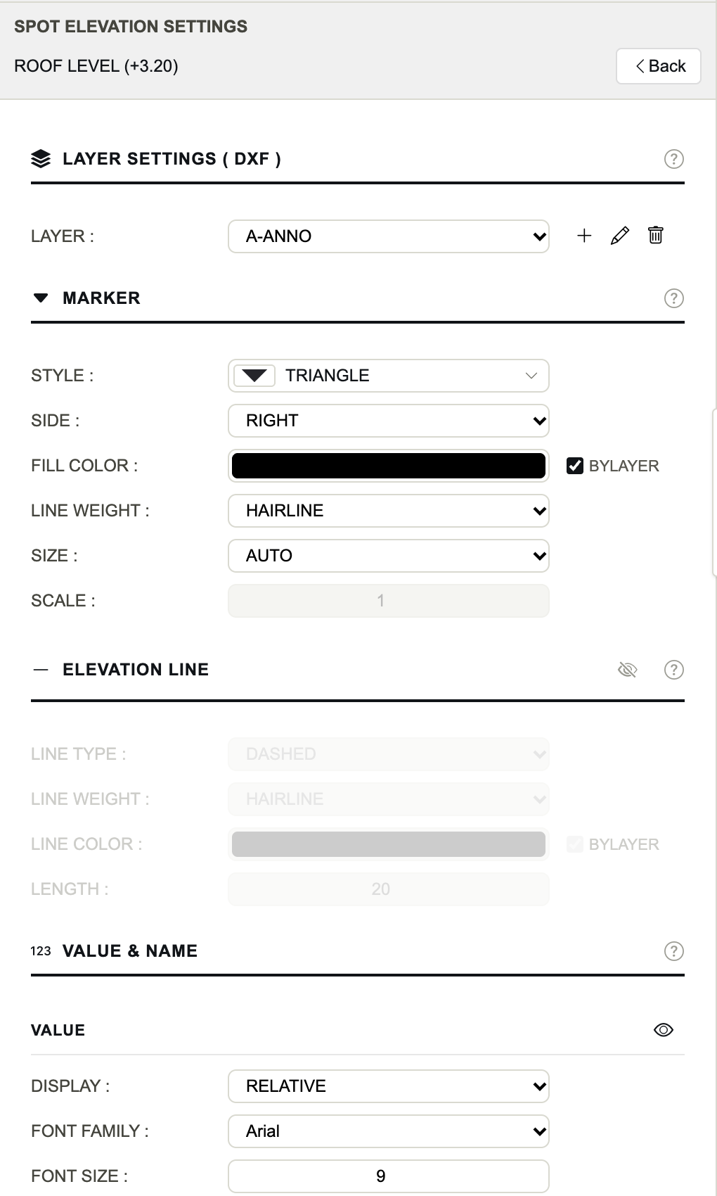
Spot Elevation Settings
- Layer
- The DXF layer of the spot elevation.
- Style
- TRIANGLE, TRIANGLE HALF, TRIANGLE OPEN or TARGET.
- Side
- Which end of the elevation line carries the marker and its texts: RIGHT or LEFT.
- Fill Color
- The colour inside the symbol (the outline of an open triangle). ByLayer for the DXF.
- Line Weight
- The weight of the symbol's lines.
- Size / Scale
- AUTO sizes the marker from the drawing; MANUAL uses Scale.
- Elevation Line
- A horizontal line at the datum's altitude, off by default: its eye turns it on, with Line Type, Line Weight, Line Color and Length in drawing units (0: no line).
- Value
- The altitude: its eye, Display RELATIVE or ABSOLUTE, Font Family, Font Size (the height of a capital), Style (BOLD by default), Color.
- Name
- The label: its eye, font, size, style and colour.
- Project Datum
- Origin Alt., the real altitude of the model's origin in metres, and Label, the reference system (NGF, TAW…). Shared by every spot elevation, used by ABSOLUTE only.